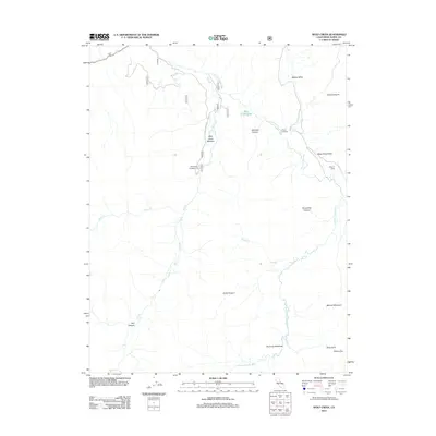
2012 Map of Wolf Creek
USGS Topo · Published 2012About this map
The E Fork Carson River winds through this high-altitude landscape in Alpine County, carving out a series of distinct valleys and canyons. This 2012 survey highlights the seasonal and recreational use of the terrain, centered around Wolf Creek Rd and the Wolf Creek Campground. The map reveals a geography defined by traditional grazing and transit points, such as Vaquero Camp and Grays Crossing.
Find a feature on this map
22 named features on this map. Tap any name to fly to it.
Don’t see what you’re looking for? This feature index may not catch every label — zoom into the map to look around manually.
Map Details
Editions of this 2012 Wolf Creek Map
This is the sole edition of this map. No revisions or reprints were ever made.
Other maps of this area

1889 · Markleeville
USGS Topo · 1:125,000

1891 · Markleeville
USGS Topo · 1:125,000

1893 · Markleeville
USGS Topo · 1:125,000

1896 · Dardanelles
USGS Topo · 1:125,000

1898 · Dardanelles
USGS Topo · 1:125,000

1948 · Walker Lake
USGS Topo · 1:250,000

1954 · Lost Cannon Peak
USGS Topo · 1:24,000

1956 · Topaz Lake
USGS Topo · 1:62,500

1956 · Markleeville
USGS Topo · 1:62,500

1956 · Dardanelles Cone
USGS Topo · 1:62,500