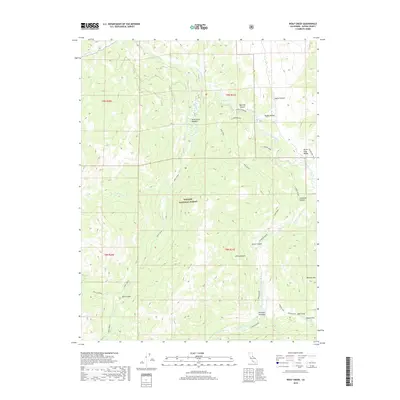
2018 Map of Wolf Creek
USGS Topo · Published 2018About this map
The high-elevation landscape of the Toiyabe National Forest dominates this 2018 survey, defined by the drainage of the East Fork Carson River. The map highlights a series of alpine meadows and flats, such as Wolf Creek Meadow, Bagley Valley, and Poison Flat, which represent critical grazing or staging areas in this remote part of Alpine County. Historical naming conventions are evident at Gray's Crossing and Dumonts Meadows, reflecting the long-standing ranching and pack-route heritage of the region.
Find a feature on this map
32 named features on this map. Tap any name to fly to it.
Don’t see what you’re looking for? This feature index may not catch every label — zoom into the map to look around manually.
Map Details
Editions of this 2018 Wolf Creek Map
This is the sole edition of this map. No revisions or reprints were ever made.
Other maps of this area

1889 · Markleeville
USGS Topo · 1:125,000

1891 · Markleeville
USGS Topo · 1:125,000

1893 · Markleeville
USGS Topo · 1:125,000

1896 · Dardanelles
USGS Topo · 1:125,000

1898 · Dardanelles
USGS Topo · 1:125,000

1948 · Walker Lake
USGS Topo · 1:250,000

1954 · Lost Cannon Peak
USGS Topo · 1:24,000

1956 · Topaz Lake
USGS Topo · 1:62,500

1956 · Markleeville
USGS Topo · 1:62,500

1956 · Dardanelles Cone
USGS Topo · 1:62,500