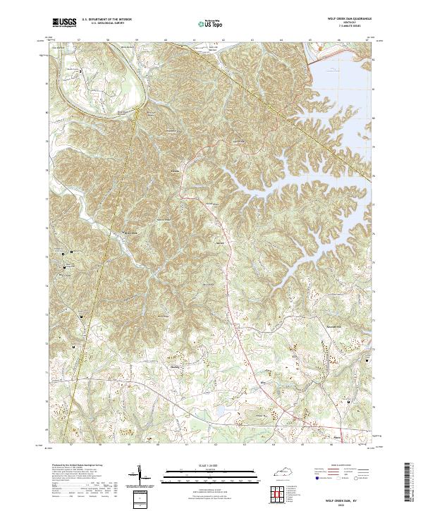
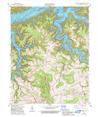
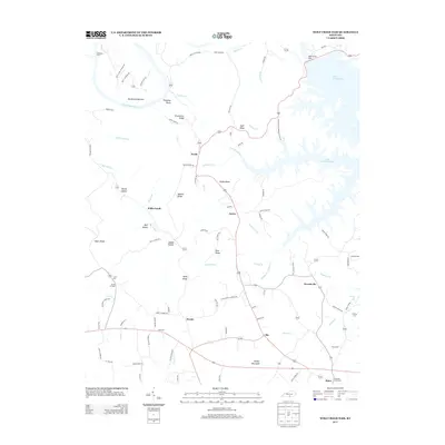
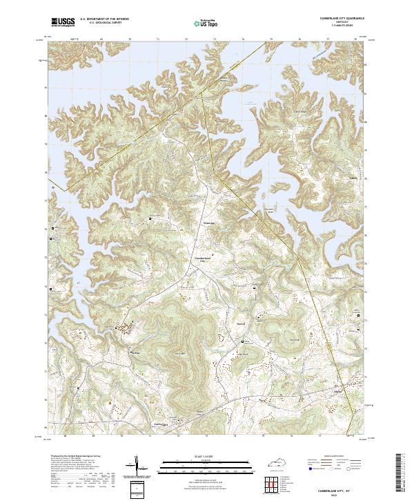
2022 Map of Wolf Creek Dam
USGS Topo · Published 2022About this map
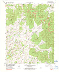
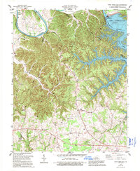
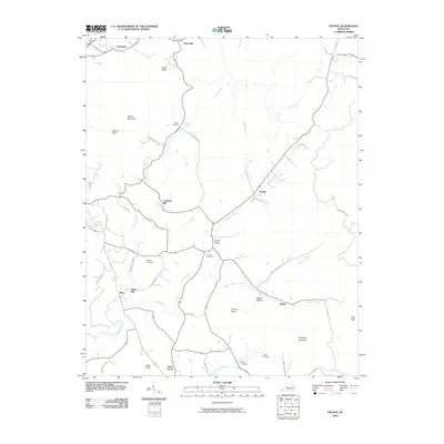
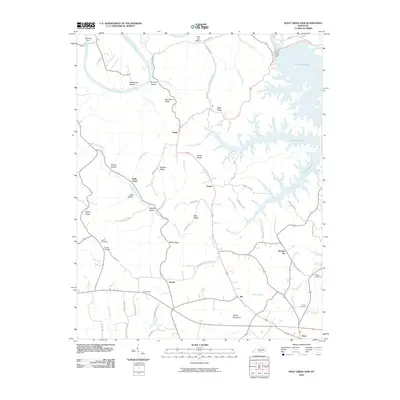
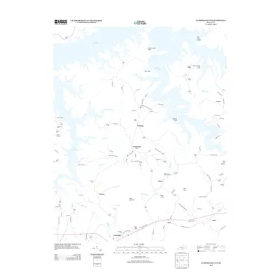
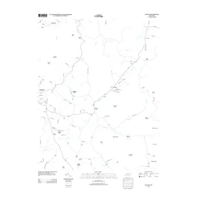
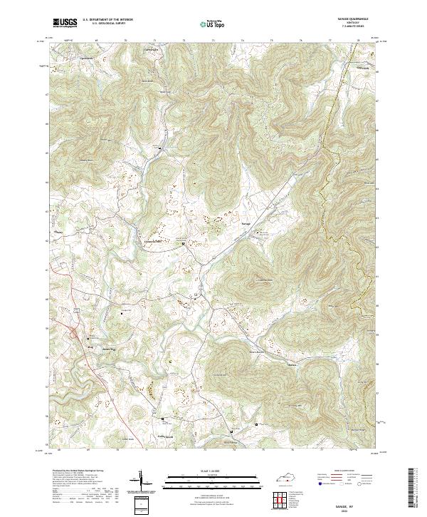
The Cumberland River carves a deep path through the borderlands of Clinton, Russell, and Cumberland counties, defining a landscape of high ridges and fertile bottoms. The lower elevations are marked by named floodplains like Irish Bottom, Wells Bottom, and Salt Lick Bottom, which sit in contrast to the prominent Greenbrier Ridge and Harper Mtn. This topography dictated the settlement of small communities such as Desda, Willis Creek, and Seventy-Six, often situated at the intersection of winding ridge roads and creeks like Big Willis Cr and Indian Cr.
Find a feature on this map
103 named features on this map. Tap any name to fly to it.
Don’t see what you’re looking for? This feature index may not catch every label — zoom into the map to look around manually.
Map Details
Editions of this 2022 Wolf Creek Dam Map
This is the sole edition of this map. No revisions or reprints were ever made.
Historical Maps of Desda Through Time
21 maps found
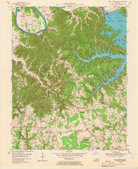
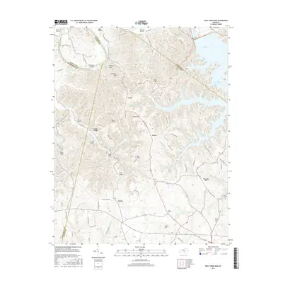
1953 Wolf Creek Dam
Clinton County, KY
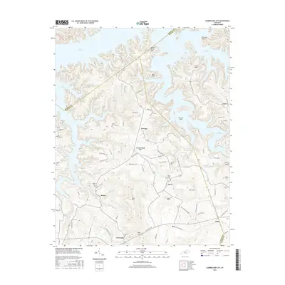
1954 Cumberland City
Clinton County, KY
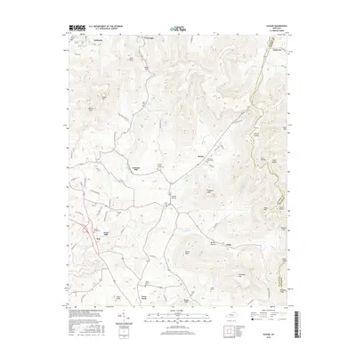
1954 Savage
Clinton County, KY
1978 Cumberland City
Clinton County, KY
1978 Savage
Clinton County, KY
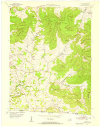
1978 Wolf Creek Dam
Clinton County, KY
2010 Cumberland City
Clinton County, KY
2010 Savage
Clinton County, KY
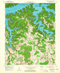
2010 Wolf Creek Dam
Clinton County, KY
2013 Cumberland City
Clinton County, KY
2013 Savage
Clinton County, KY
2013 Wolf Creek Dam
Clinton County, KY
2016 Cumberland City
Clinton County, KY
2016 Savage
Clinton County, KY
2016 Wolf Creek Dam
Clinton County, KY
2019 Cumberland City
Clinton County, KY
2019 Savage
Clinton County, KY
2019 Wolf Creek Dam
Clinton County, KY
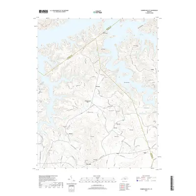
2022 Cumberland City
Clinton County, KY
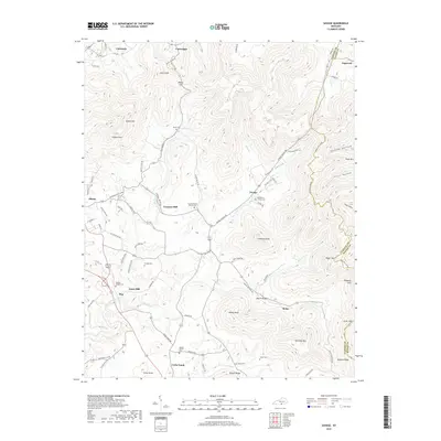
2022 Savage
Clinton County, KY
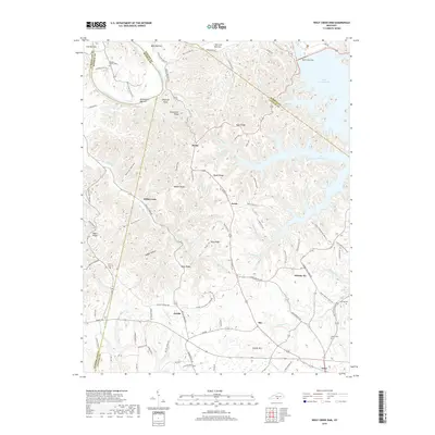
2022 Wolf Creek Dam
Clinton County, KY