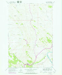
1961 Map of Wolf Creek
USGS Topo · Published 1979About this map
Wolf Creek serves as the primary settlement node in this Lewis and Clark County landscape, where the confluence of local waterways and transportation corridors defines the mountain economy. The map illustrates a high-plains ranching environment marked by family-named holdings such as Sunny Crest Ranch, Nohrgang Ranch, and Rock Creek Ranch. The dramatic topography is dominated by massive geological formations including The Reef and Electric Mountain, while Moore Hill stands near the small, secluded Moore Graves. Infrastructure is concentrated along the narrow valley floor, where the Burlington Northern railroad and several arterial roads follow the winding path of Little Prickly Pear Creek toward its eventual meeting with the Missouri River. This 1961 field-checked survey, later updated in the late 1970s, captures a snapshot of Montana's ranching heritage and the persistent influence of the region's complex drainages.
Find a feature on this map
32 named features on this map. Tap any name to fly to it.
Don’t see what you’re looking for? This feature index may not catch every label — zoom into the map to look around manually.
Map Details
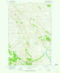
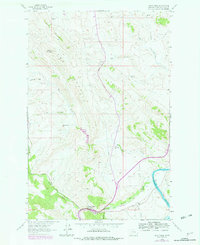
Editions of this 1961 Wolf Creek Map
3 editions found
Other maps of this area

1886 · Great Falls
USGS Topo · 1:250,000

1886 · Fort Logan
USGS Topo · 1:250,000

1889 · Helena
USGS Topo · 1:250,000

1893 · Helena
USGS Topo · 1:250,000

1899 · Helena
USGS Topo · 1:250,000

1903 · Helena
USGS Topo · 1:250,000

1943 · Hogan
USGS Topo · 1:125,000

1947 · Butte
USGS Topo · 1:250,000

1948 · White Sulphur Springs
USGS Topo · 1:250,000

1954 · Great Falls
USGS Topo · 1:250,000