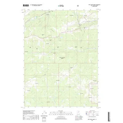
2020 Map of Wolf Creek Summit
USGS Topo · Published 2020About this map
Wolf Creek Summit sits at the hydrological and geological crossroads of this portion of the Uinta National Forest. The map documents a complex network of ridgelines and drainages where the headwaters of several major river systems originate, including the S Fork Provo River and the W Fork Duchesne River. Human passage through this high-elevation terrain is marked by established routes like the Granite School Trail and Yellow Lake Trail, which navigate between prominent landforms such as Duchesne Ridge and Shale Ridge. The presence of the Mill Hollow Reservoir and smaller alpine bodies like Heart Lake and Yellow Lake highlights the importance of water management in this landscape. To the south, numerous basins such as Scotty Basin and Jimmies Basin lead toward Red Creek Mtn, illustrating the varied topography of the Wasatch Range.
Find a feature on this map
48 named features on this map. Tap any name to fly to it.
Don’t see what you’re looking for? This feature index may not catch every label — zoom into the map to look around manually.
Map Details
Editions of this 2020 Wolf Creek Summit Map
This is the sole edition of this map. No revisions or reprints were ever made.
Other maps of this area

1885 · Salt Lake
USGS Topo · 1:250,000

1885 · Uinta
USGS Topo · 1:250,000

1900 · Coalville
USGS Topo · 1:125,000

1901 · Hayden Peak
USGS Topo · 1:125,000

1903 · Hayden Peak
USGS Topo · 1:125,000

1903 · Coalville
USGS Topo · 1:125,000

1907 · Strawberry Valley
USGS Topo · 1:125,000

1909 · Strawberry Valley
USGS Topo · 1:125,000

1954 · Salt Lake City
USGS Topo · 1:250,000

1958 · Salt Lake City
USGS Topo · 1:250,000