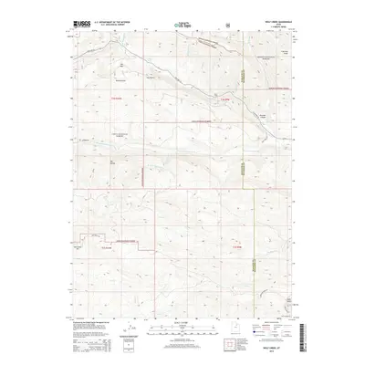
2014 Map of Wolf Creek
USGS Topo · Published 2014About this map
Uinta National Forest and Ashley National Forest dominate this high-altitude landscape along the border of Wasatch and Duchesne counties. The terrain is defined by a dense network of drainage systems, including the W Fork Duchesne River and Red Cr, which carve through prominent ridges like Lightning Ridge and Red Creek Mtn. Settlement is sparse, limited to points like Bear Camp and Tabby Swale, reflecting the area's primary use for timber management, recreation, and watershed protection.
Find a feature on this map
37 named features on this map. Tap any name to fly to it.
Don’t see what you’re looking for? This feature index may not catch every label — zoom into the map to look around manually.
Map Details
Editions of this 2014 Wolf Creek Map
This is the sole edition of this map. No revisions or reprints were ever made.
Other maps of this area

1885 · Salt Lake
USGS Topo · 1:250,000

1885 · Uinta
USGS Topo · 1:250,000

1900 · Coalville
USGS Topo · 1:125,000

1901 · Hayden Peak
USGS Topo · 1:125,000

1903 · Hayden Peak
USGS Topo · 1:125,000

1903 · Coalville
USGS Topo · 1:125,000

1907 · Strawberry Valley
USGS Topo · 1:125,000

1909 · Strawberry Valley
USGS Topo · 1:125,000

1954 · Salt Lake City
USGS Topo · 1:250,000

1958 · Salt Lake City
USGS Topo · 1:250,000