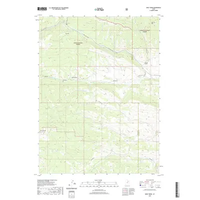
2020 Map of Wolf Creek
USGS Topo · Published 2020About this map
The high mountain divide of the Uinta National Forest and Ashley National Forest dominates this topographic study of the Western Uintas. The landscape is defined by the sharp transition across the Wasatch and Duchesne County line, where steep drainages like W Twin Cr and Annie Mae Cr flow north toward the Wolf Creek (Snow) corridor. To the south, the headwaters of the W Fork Duchesne River and W Fork Little Sand Cr carve through a series of named basins including A Hollow, Dry Hollow, and Hay Hollow. Significant high-elevation landmarks such as Red Creek Mtn and Lightning Ridge overlook a network of seasonal routes like the Phelps Brook Atv Trail and Wolf Creek Trl, tracing the primitive access points used for timbering and recreation in this protected wilderness.
Find a feature on this map
30 named features on this map. Tap any name to fly to it.
Don’t see what you’re looking for? This feature index may not catch every label — zoom into the map to look around manually.
Map Details
Editions of this 2020 Wolf Creek Map
This is the sole edition of this map. No revisions or reprints were ever made.
Other maps of this area

1885 · Salt Lake
USGS Topo · 1:250,000

1885 · Uinta
USGS Topo · 1:250,000

1900 · Coalville
USGS Topo · 1:125,000

1901 · Hayden Peak
USGS Topo · 1:125,000

1903 · Hayden Peak
USGS Topo · 1:125,000

1903 · Coalville
USGS Topo · 1:125,000

1907 · Strawberry Valley
USGS Topo · 1:125,000

1909 · Strawberry Valley
USGS Topo · 1:125,000

1954 · Salt Lake City
USGS Topo · 1:250,000

1958 · Salt Lake City
USGS Topo · 1:250,000