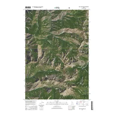
2017 Map of Wolf Fang Peak
USGS Topo · Published 2017About this map
Payette National Forest encompasses this high-elevation terrain along the border of Idaho and Valley counties, where the jagged prominence of Wolf Fang Peak and the nearby Wolf Fangs dominate the central landscape. The 2017 survey reveals a network of primitive corridors and natural clearings vital for mountain transit, including the Elk Summit Rd and the Smith Creek Krassel trail system. This area serves as a primary drainage basin for several forks of the Salmon River system, with the Middle Fork Elk Creek and Wolf Fang Cr carving deep paths through the timbered slopes.
Find a feature on this map
72 named features on this map. Tap any name to fly to it.
Don’t see what you’re looking for? This feature index may not catch every label — zoom into the map to look around manually.
Map Details
Editions of this 2017 Wolf Fang Peak Map
This is the sole edition of this map. No revisions or reprints were ever made.
Other maps of this area

1937 · Big Creek
USGS Topo · 1:48,000

1942 · Big Creek
USGS Topo · 1:62,500

1956 · Warren
USGS Topo · 1:62,500

1956 · Elk City
USGS Topo · 1:250,000

1960 · Elk City
USGS Topo · 1:250,000

1969 · Edwardsburg
USGS Topo · 1:24,000

1969 · Profile Gap
USGS Topo · 1:24,000

1969 · Parks Peak
USGS Topo · 1:24,000

1969 · Wolf Fang Peak
USGS Topo · 1:24,000

1969 · Big Creek
USGS Topo · 1:24,000