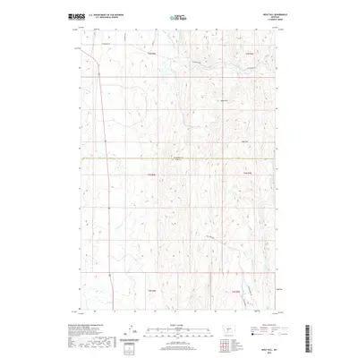
2020 Map of Wolf Hill
USGS Topo · Published 2020About this map
Wolf Hill and the Rees Hills define this high-country landscape at the border of Meagher and Park counties. The drainage pattern is the dominant feature of the terrain, with Sixteenmile Cr and Canyon Cr carving through the northern sections, while Potter Cr and Cottonwood Cr provide natural corridors through the central and southern reaches. This modern survey illustrates the enduring land partitions of the Public Land Survey System, showing several townships meeting in this sparsely settled area. Connectivity is maintained by primitive and local routes such as Sixteenmile Rd, Cole Creek Rd, and the descriptively named Internal Bench Rd. These roads often follow the natural contours of the drainages, including Cole Cr and Antelope Cr, reflecting a landscape where topography strictly dictates travel and land use.
Find a feature on this map
23 named features on this map. Tap any name to fly to it.
Don’t see what you’re looking for? This feature index may not catch every label — zoom into the map to look around manually.
Map Details
Editions of this 2020 Wolf Hill Map
This is the sole edition of this map. No revisions or reprints were ever made.
Other maps of this area

1886 · Little Belt Mts.
USGS Topo · 1:250,000

1894 · Little Belt Mts.
USGS Topo · 1:250,000

1897 · Little Belt Mts.
USGS Topo · 1:250,000

1898 · Little Belt Mts.
USGS Topo · 1:250,000

1902 · Little Belt Mts.
USGS Topo · 1:250,000

1948 · White Sulphur Springs
USGS Topo · 1:250,000

1951 · Sixteen NE
USGS Topo · 1:24,000
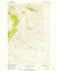
1951 · Wallrock
USGS Topo · 1:24,000

1951 · Hamen
USGS Topo · 1:24,000
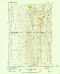
1951 · Wolf Hill
USGS Topo · 1:24,000