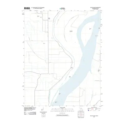
2010 Map of Wolf Island
USGS Topo · Published 2010About this map
Wolf Island and its surrounding alluvial landscape sit along a dynamic stretch of the Mississippi River south of the confluence with the Ohio. This 2010 survey documents the complex riverine geography of the Missouri-Kentucky border, where the shifting main channel has created features like Wolf Island Number 5, Moore Island, and the sweeping Beckwith Bend. The map is particularly useful for genealogical research, identifying several small family and community burial grounds, including Barnes Cemetery, Wolf Island Cemetery, Ivie Cemetery, and Lee Cemetery, which remain anchored in this flood-prone environment.
Find a feature on this map
34 named features on this map. Tap any name to fly to it.
Don’t see what you’re looking for? This feature index may not catch every label — zoom into the map to look around manually.
Map Details
Editions of this 2010 Wolf Island Map
This is the sole edition of this map. No revisions or reprints were ever made.
Other maps of this area

1939 · Wickliffe
USGS Topo · 1:62,500

1939 · Charleston
USGS Topo · 1:62,500

1939 · Hickman
USGS Topo · 1:62,500

1939 · Bayouville
USGS Topo · 1:62,500

1951 · Cayce
USGS Topo · 1:24,000

1951 · Bondurant
USGS Topo · 1:24,000

1951 · Oakton
USGS Topo · 1:24,000

1951 · Hickman
USGS Topo · 1:24,000

1951 · Wolf Island
USGS Topo · 1:24,000

1951 · Wickliffe SW
USGS Topo · 1:24,000