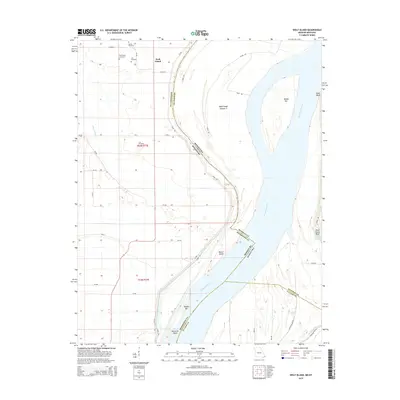
2015 Map of Wolf Island
USGS Topo · Published 2015About this map
Wolf Island and its surrounding floodplains define this complex riverine landscape where the Mississippi River forms a shifting border between Missouri and Kentucky. The area is marked by a deep genealogical record, preserved in several small burial grounds such as Barnes Cemetery, Ivie Cemetery, Lee Cemetery, and the Wolf Island Cemetery. These sites are positioned amidst a network of rural roads and levees, including Levee Rd and River Rd, which navigate the low-lying terrain and protected basins.
Find a feature on this map
42 named features on this map. Tap any name to fly to it.
Don’t see what you’re looking for? This feature index may not catch every label — zoom into the map to look around manually.
Map Details
Editions of this 2015 Wolf Island Map
This is the sole edition of this map. No revisions or reprints were ever made.
Other maps of this area

1939 · Wickliffe
USGS Topo · 1:62,500

1939 · Charleston
USGS Topo · 1:62,500

1939 · Hickman
USGS Topo · 1:62,500

1939 · Bayouville
USGS Topo · 1:62,500

1951 · Cayce
USGS Topo · 1:24,000

1951 · Bondurant
USGS Topo · 1:24,000

1951 · Oakton
USGS Topo · 1:24,000

1951 · Hickman
USGS Topo · 1:24,000

1951 · Wolf Island
USGS Topo · 1:24,000

1951 · Wickliffe SW
USGS Topo · 1:24,000