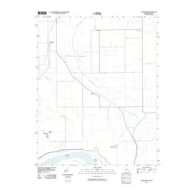
1969 Map of Wolf Island
USGS Topo · Published 1983About this map
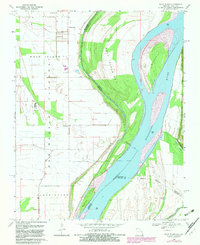
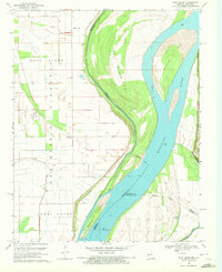
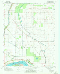
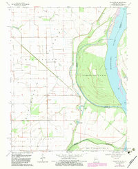
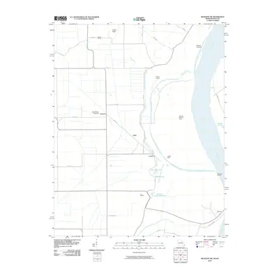
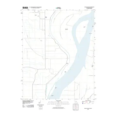
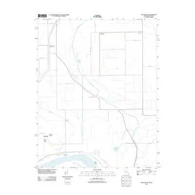
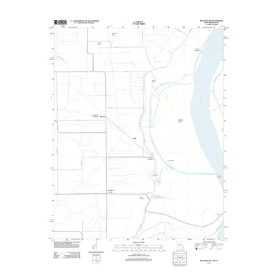
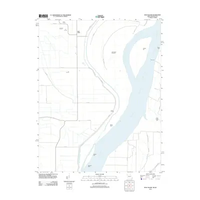
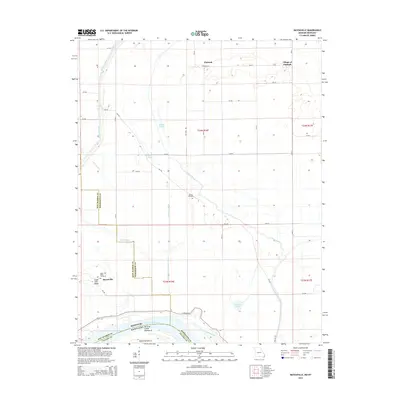
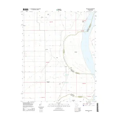
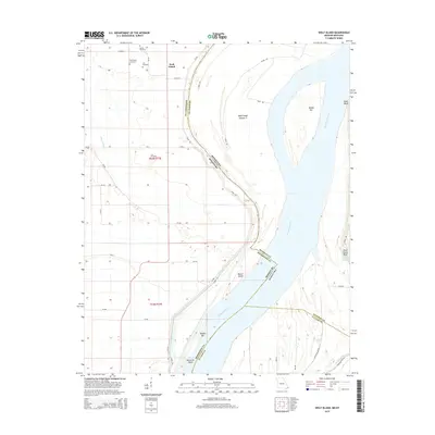
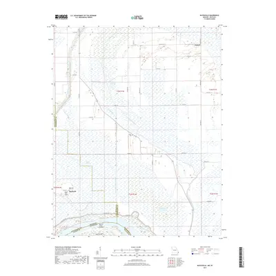
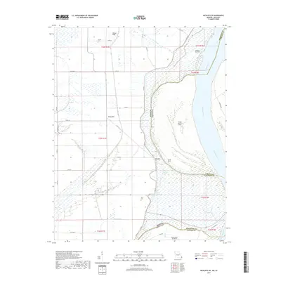
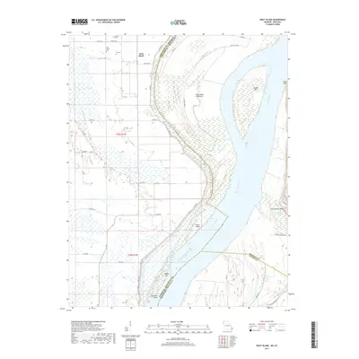
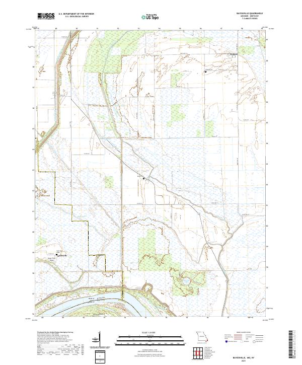
The Mississippi River dominates this survey, carving a complex boundary between Missouri and Kentucky that left fragments of land like Wolf Island No 5 east of the main channel. The landscape is defined by the shifting river and the engineering of the New Madrid Floodway, which protects the low-lying Wolf Island settlement. To the west, the ancient history of the region is preserved at the Towosahgy State Historic Site, while more recent pioneer history is marked by the Ivie Cem, Mt Zion Ch, and a lone Grave near the river levee. High ground along the eastern bank is distinguished by Chalk Bluff and Three Ponds Bluff, offering a sharp contrast to the riverbed features like Middle Bar and Medley Bar that shifted between the original mapping and later revisions.
Find a feature on this map
23 named features on this map. Tap any name to fly to it.
Don’t see what you’re looking for? This feature index may not catch every label — zoom into the map to look around manually.
Map Details
Editions of this 1969 Wolf Island Map
2 editions found
Historical Maps of Wolf Island Through Time
18 maps found
1969 Bayouville
Mississippi County, MO
1969 Wickliffe SW
Mississippi County, MO
1969 Wolf Island
Mississippi County, MO
2010 Bayouville
Mississippi County, MO
2010 Wickliffe SW
Mississippi County, MO
2010 Wolf Island
Mississippi County, MO
2012 Bayouville
Mississippi County, MO
2012 Wickliffe SW
Mississippi County, MO
2012 Wolf Island
Mississippi County, MO
2015 Bayouville
Mississippi County, MO
2015 Wickliffe SW
Mississippi County, MO
2015 Wolf Island
Mississippi County, MO
2017 Bayouville
Mississippi County, MO
2017 Wickliffe SW
Mississippi County, MO
2017 Wolf Island
Mississippi County, MO
2021 Bayouville
Mississippi County, MO

2021 Wickliffe SW
Mississippi County, MO

2021 Wolf Island
Mississippi County, MO