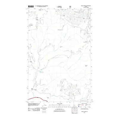
2011 Map of Wolf Lodge
USGS Topo · Published 2011About this map
Wolf Lodge sits at the base of a complex drainage network in the Idaho panhandle, where Wolf Lodge Creek and its many tributaries define the landscape. This area is characterized by a series of named saddles and ridges that historically dictated travel and resource extraction, including Fernan Saddle, Meyers Saddle, and Skitwish Ridge. The map documents the industrial and logistical footprint of the region, anchored by the Homebuilder Mine and the Wolf Lodge Holding Ponds.
Find a feature on this map
49 named features on this map. Tap any name to fly to it.
Don’t see what you’re looking for? This feature index may not catch every label — zoom into the map to look around manually.
Map Details
Editions of this 2011 Wolf Lodge Map
This is the sole edition of this map. No revisions or reprints were ever made.
Other maps of this area

1903 · Rathdrum
USGS Topo · 1:125,000

1909 · Cataldo
USGS Topo · 1:125,000

1911 · Cataldo
USGS Topo · 1:125,000

1955 · Spokane
USGS Topo · 1:250,000

1957 · Kingston
USGS Topo · 1:62,500

1957 · Lane
USGS Topo · 1:62,500

1958 · Spokane
USGS Topo · 1:250,000

1961 · Lakeview
USGS Topo · 1:62,500

1961 · Athol
USGS Topo · 1:62,500

1961 · Hayden Lake
USGS Topo · 1:24,000