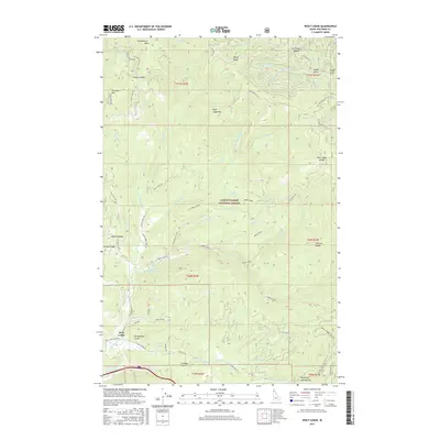
2017 Map of Wolf Lodge
USGS Topo · Published 2017About this map
Coeur D'Alene National Forest blankets this corner of Idaho, where the peaks of Wolf Lodge Mtn and Skitwish Ridge overlook a complex network of forest roads and creek drainages. The landscape is defined by its verticality, featuring notable landmarks like Huckleberry Mtn, Treasure Mtn, and the high pass at Fourth of July Summit. Near the small settlement of Wolf Lodge, the topography gives way to Wolf Lodge Holding Ponds and the confluence of Wolf Lodge Cr with its numerous tributaries including Marie Cr and Alder Cr. Historic land use is suggested by features such as Lost Mines Rd in the northeast and Chinese Gulch near the southern boundary, providing clues for researchers tracing the development of Idaho's timber and mineral resources. The map documents numerous forest service routes like Nat For Dev Rd 202 and Monument L O Rd, which weave through the ridges and draws.
Find a feature on this map
68 named features on this map. Tap any name to fly to it.
Don’t see what you’re looking for? This feature index may not catch every label — zoom into the map to look around manually.
Map Details
Editions of this 2017 Wolf Lodge Map
This is the sole edition of this map. No revisions or reprints were ever made.
Other maps of this area

1903 · Rathdrum
USGS Topo · 1:125,000

1909 · Cataldo
USGS Topo · 1:125,000

1911 · Cataldo
USGS Topo · 1:125,000

1955 · Spokane
USGS Topo · 1:250,000

1957 · Kingston
USGS Topo · 1:62,500

1957 · Lane
USGS Topo · 1:62,500

1958 · Spokane
USGS Topo · 1:250,000

1961 · Lakeview
USGS Topo · 1:62,500

1961 · Athol
USGS Topo · 1:62,500

1961 · Hayden Lake
USGS Topo · 1:24,000