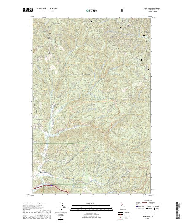
2024 Map of Wolf Lodge
USGS Topo · Published 2024About this map
Coeur d'Alene National Forest blankets this corner of Kootenai County, dominated by the high peaks of the Coeur d'Alene Mountains. The settlement of Wolf Lodge sits at the base of this vertical landscape, where Wolf Lodge Creek and Alder Creek converge. The terrain is defined by a series of steep ridges and high-altitude saddles, including Skitwish Ridge and Folsom Ridge, which historically dictated the flow of travel and resource extraction in the region.
Find a feature on this map
66 named features on this map. Tap any name to fly to it.
Don’t see what you’re looking for? This feature index may not catch every label — zoom into the map to look around manually.
Map Details
Editions of this 2024 Wolf Lodge Map
This is the sole edition of this map. No revisions or reprints were ever made.
Other maps of this area

1903 · Rathdrum
USGS Topo · 1:125,000

1909 · Cataldo
USGS Topo · 1:125,000

1911 · Cataldo
USGS Topo · 1:125,000

1955 · Spokane
USGS Topo · 1:250,000

1957 · Kingston
USGS Topo · 1:62,500

1957 · Lane
USGS Topo · 1:62,500

1958 · Spokane
USGS Topo · 1:250,000

1961 · Lakeview
USGS Topo · 1:62,500

1961 · Athol
USGS Topo · 1:62,500

1961 · Hayden Lake
USGS Topo · 1:24,000