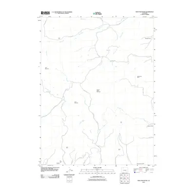
2010 Map of Wolf Mountain
USGS Topo · Published 2010About this map
Industrial history and varied topography define this area of Routt County, where several extraction sites like the Black Cat Coal Mine and Dick Jones Mine are situated along the southern drainage. The landscape is marked by a complex network of waterways, including Wolf Creek and Deep Creek, which navigate between prominent elevations such as Wolf Mountain and Slippery Sides Mountain. The distribution of these mines near the intersections of County Rd 52 and County Rd 50 suggests a reliance on a well-established local road system for moving resources through the high-altitude terrain. Notable landmarks like Rattlesnake Butte and Sand Mountain serve as distinct geographic anchors in a region where smaller mines, such as the Franz Mine and Grey Mine, are found near the upper reaches of various gulches and creeks.
Find a feature on this map
38 named features on this map. Tap any name to fly to it.
Don’t see what you’re looking for? This feature index may not catch every label — zoom into the map to look around manually.
Map Details
Editions of this 2010 Wolf Mountain Map
This is the sole edition of this map. No revisions or reprints were ever made.
Other maps of this area

1911 · Hahns Peak
USGS Topo · 1:125,000

1913 · Hahns Peak
USGS Topo · 1:125,000

1923 · Pilot Knob
USGS Topo · 1:62,500

1924 · Mt. Harris
USGS Topo · 1:48,000

1925 · Pilot Knob
USGS Topo · 1:62,500

1926 · Mount Harris
USGS Topo · 1:62,500

1954 · Craig
USGS Topo · 1:250,000

1957 · Craig
USGS Topo · 1:250,000

1958 · Craig
USGS Topo · 1:250,000

1960 · Craig
USGS Topo · 1:250,000