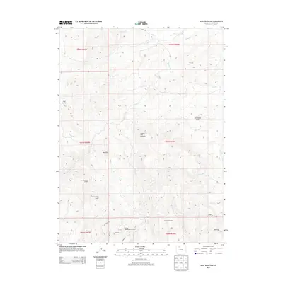
2013 Map of Wolf Mountain
USGS Topo · Published 2013About this map
Wolf Mountain and Slippery Sides Mountain anchor this high-altitude landscape in Northwest Colorado, where deep drainages have carved a complex system of gulches and creeks. The terrain is defined by its verticality, transitioning from Rattlesnake Butte in the east to the high peaks of Sand Mountain near the center. The map reveals a network of watercourses including Miller Creek, Chimney Creek, and Wolf Creek that feed into the larger regional basins.
Find a feature on this map
34 named features on this map. Tap any name to fly to it.
Don’t see what you’re looking for? This feature index may not catch every label — zoom into the map to look around manually.
Map Details
Editions of this 2013 Wolf Mountain Map
This is the sole edition of this map. No revisions or reprints were ever made.
Other maps of this area

1911 · Hahns Peak
USGS Topo · 1:125,000

1913 · Hahns Peak
USGS Topo · 1:125,000

1923 · Pilot Knob
USGS Topo · 1:62,500

1924 · Mt. Harris
USGS Topo · 1:48,000

1925 · Pilot Knob
USGS Topo · 1:62,500

1926 · Mount Harris
USGS Topo · 1:62,500

1954 · Craig
USGS Topo · 1:250,000

1957 · Craig
USGS Topo · 1:250,000

1958 · Craig
USGS Topo · 1:250,000

1960 · Craig
USGS Topo · 1:250,000