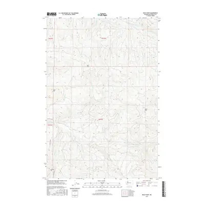
2017 Map of Wolf Point
USGS Topo · Published 2017About this map
The Coweeman River and South Fork Toutle River systems dominate this part of Cowlitz County, where the landscape is defined by the steep drainage basins of the Cascade foothills. The terrain rises to several prominent summits, including Baird Mtn, Nineteen Mtn, and the central Wolf Point. This 2017 survey reveals the footprint of industrial forestry on the region, with specialized infrastructure such as Logging 1600 Rd and Logging 1650 Rd cutting across the slopes. Numerous named tributaries, such as Mulholland Cr and O'Neil Cr, feed the larger river systems, illustrating a complex hydrologic network. One notable landmark in the river valley is Washboard Falls, a specific point of interest for those tracking local water features and natural landmarks.
Find a feature on this map
26 named features on this map. Tap any name to fly to it.
Don’t see what you’re looking for? This feature index may not catch every label — zoom into the map to look around manually.
Map Details
Editions of this 2017 Wolf Point Map
This is the sole edition of this map. No revisions or reprints were ever made.
Other maps of this area

1919 · Mount St Helens
USGS Topo · 1:125,000

1942 · Toutle
USGS Topo · 1:62,500

1943 · Pigeon Springs
USGS Topo · 1:62,500

1953 · Hoquiam
USGS Topo · 1:250,000

1953 · Toutle
USGS Topo · 1:62,500

1953 · Pigeon Springs
USGS Topo · 1:62,500

1953 · Cougar
USGS Topo · 1:62,500

1953 · Elk Rock
USGS Topo · 1:62,500

1957 · Hoquiam
USGS Topo · 1:250,000

1958 · Hoquiam
USGS Topo · 1:250,000