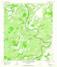
1959 Map of Wolf Ridge
USGS Topo · Published 1964About this map
The Colorado River and San Saba River converge in this central Texas landscape, where the borders of San Saba, Mills, and Lampasas counties meet. The terrain is defined by the prominent elevation of Wolf Ridge and a series of deep drainages such as Molasses Hollow, Cedar Hollow, and Turkey Valley. Local travel in the late 1950s relied on several traditional river transits, including Red Bluff Crossing and Hicks Crossing, while the Santa Fe railroad line cuts across the northern reaches of the map. Evidence of early settlement and community life is anchored by Colony Ch and the Harris Cem. A unique landmark, the Historical Monument (Samson and Billy Cole), stands near the riverbanks, preserving local memory alongside more industrial features like a Clay Pit and Quarry.
Find a feature on this map
45 named features on this map. Tap any name to fly to it.
Don’t see what you’re looking for? This feature index may not catch every label — zoom into the map to look around manually.
Map Details
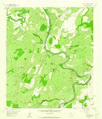
Editions of this 1959 Wolf Ridge Map
2 editions found
Other maps of this area

1885 · San Saba
USGS Topo · 1:125,000

1887 · Lampasas
USGS Topo · 1:125,000

1894 · Lampasas
USGS Topo · 1:125,000

1894 · San Saba
USGS Topo · 1:125,000

1925 · San Saba 4-a
USGS Topo · 1:48,000

1925 · San Saba 1-c
USGS Topo · 1:48,000

1925 · San Saba 1-d
USGS Topo · 1:48,000

1928 · Goldthwaite
USGS Topo · 1:62,500

1931 · Bend
USGS Topo · 1:62,500

1948 · Goldthwaite
USGS Topo · 1:62,500