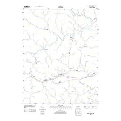
2011 Map of Wolf Summit
USGS Topo · Published 2011About this map
Wolf Summit and its namesake post office serve as the central hub for this Harrison County landscape, where the winding waters of Tenmile Creek and Simpson Fork dictate the layout of valley floor settlements. The area is dense with family-named heritage sites and small communities, including Marshville, Sardis, and Reynoldsville. A notable landmark is the Fletcher Covered Bridge, which spans the waters near Maken.
Find a feature on this map
114 named features on this map. Tap any name to fly to it.
Don’t see what you’re looking for? This feature index may not catch every label — zoom into the map to look around manually.
Map Details
Editions of this 2011 Wolf Summit Map
This is the sole edition of this map. No revisions or reprints were ever made.
Other maps of this area

1902 · Clarksburg
USGS Topo · 1:62,500

1904 · Weston
USGS Topo · 1:62,500

1904 · Vadis
USGS Topo · 1:62,500

1905 · Centerpoint
USGS Topo · 1:62,500

1910 · Clarksburg
USGS Topo · 1:62,500

1923 · Clarksburg
USGS Topo · 1:62,500

1924 · Centerpoint
USGS Topo · 1:62,500

1925 · Clarksburg
USGS Topo · 1:62,500

1925 · Centerpoint
USGS Topo · 1:62,500

1925 · Vadis
USGS Topo · 1:62,500