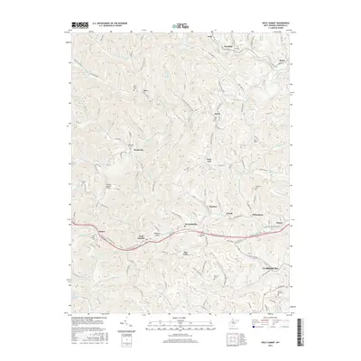
2016 Map of Wolf Summit
USGS Topo · Published 2016About this map
The hills and hollows of Harrison County west of Clarksburg reveal a landscape defined by traditional Appalachian drainage patterns, where small communities like Wolf Summit and Marshville grew along the creeks. The N Bend Rail Trail follows the corridor of a former railroad line through the southern portion of the map, passing through Maken and Reynoldsville toward the city. This area is rich in family and community burial grounds, including the Olive Branch Cem, Point Pleasant Cem, and Ash Cem, which provide significant data points for genealogical research.
Find a feature on this map
136 named features on this map. Tap any name to fly to it.
Don’t see what you’re looking for? This feature index may not catch every label — zoom into the map to look around manually.
Map Details
Editions of this 2016 Wolf Summit Map
This is the sole edition of this map. No revisions or reprints were ever made.
Other maps of this area

1902 · Clarksburg
USGS Topo · 1:62,500

1904 · Weston
USGS Topo · 1:62,500

1904 · Vadis
USGS Topo · 1:62,500

1905 · Centerpoint
USGS Topo · 1:62,500

1910 · Clarksburg
USGS Topo · 1:62,500

1923 · Clarksburg
USGS Topo · 1:62,500

1924 · Centerpoint
USGS Topo · 1:62,500

1925 · Clarksburg
USGS Topo · 1:62,500

1925 · Centerpoint
USGS Topo · 1:62,500

1925 · Vadis
USGS Topo · 1:62,500