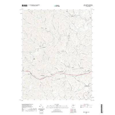
2019 Map of Wolf Summit
USGS Topo · Published 2019About this map
Wolf Summit and the western outskirts of Clarksburg anchor this topographical study of Harrison County, where the landscape is defined by the dendritic drainage of Tenmile Creek and its many tributaries. The area is characterized by small, dispersed settlements like Marshville, Sardis, and Reynoldsville that follow the winding valley floors and hollows. A significant historical landmark, the Fletcher Covered Bridge, stands near the junction of Indian Run and Tenmile Creek, highlighting the region's traditional infrastructure.
Find a feature on this map
123 named features on this map. Tap any name to fly to it.
Don’t see what you’re looking for? This feature index may not catch every label — zoom into the map to look around manually.
Map Details
Editions of this 2019 Wolf Summit Map
This is the sole edition of this map. No revisions or reprints were ever made.
Other maps of this area

1902 · Clarksburg
USGS Topo · 1:62,500

1904 · Weston
USGS Topo · 1:62,500

1904 · Vadis
USGS Topo · 1:62,500

1905 · Centerpoint
USGS Topo · 1:62,500

1910 · Clarksburg
USGS Topo · 1:62,500

1923 · Clarksburg
USGS Topo · 1:62,500

1924 · Centerpoint
USGS Topo · 1:62,500

1925 · Clarksburg
USGS Topo · 1:62,500

1925 · Centerpoint
USGS Topo · 1:62,500

1925 · Vadis
USGS Topo · 1:62,500