
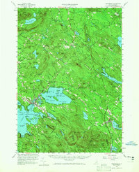
1958 Map of Wolfeboro
USGS Topo · Published 1960About this map
Lake Wentworth and the eastern shores of Lake Winnipesaukee dominate this landscape, reflecting a mid-century New Hampshire interior where seasonal recreation and established local institutions coexisted. The Boston and Maine Railroad provides the primary industrial corridor, threading through Wolfeboro Falls and past Cotton Valley Station toward the lake. This transport network supported the region's prominent civic landmarks, including the historic Brewster Academy and Huggins Hospital near the village centers.
Find a feature on this map
132 named features on this map. Tap any name to fly to it.
Don’t see what you’re looking for? This feature index may not catch every label — zoom into the map to look around manually.
Map Details
Editions of this 1958 Wolfeboro Map
2 editions found
Other maps of this area

1891 · Berwick
USGS Topo · 1:62,500

1891 · Newfield
USGS Topo · 1:62,500

1893 · Berwick
USGS Topo · 1:62,500

1893 · Newfield
USGS Topo · 1:62,500

1909 · Winnepesaukee
USGS Topo · 1:62,500

1910 · Kezar Falls
USGS Topo · 1:48,000

1911 · Kezar Falls
USGS Topo · 1:62,500

1919 · Gilmanton
USGS Topo · 1:62,500

1919 · Alton
USGS Topo · 1:62,500

1927 · Gilmanton
USGS Topo · 1:62,500