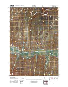
2011 Map of Wolfinger Butte
USGS Topo · Published 2011About this map
The John Day River flows through this rugged pocket of Grant County, creating a lifeline for the cattle ranches and remote outposts that define the landscape. The map details a network of water management features essential to high-desert life, including the Blue Mountain Ditch and Edington Ditch, which divert water toward agricultural operations like Lemons Ranch. Higher elevations are marked by distinctive landmarks such as Wolfinger Butte and White Butte, alongside narrow drainages like Graveyard Gulch and Waterspout Gulch. For local historians and genealogists, the placement of Moon Creek Cemetery and isolated dwellings such as Dunlap Cabin and Jenkins Cabin provides a clear view of early 21st-century rural settlement patterns in Eastern Oregon, where family-named landmarks and remote cabins remain primary points of reference.
Find a feature on this map
40 named features on this map. Tap any name to fly to it.
Don’t see what you’re looking for? This feature index may not catch every label — zoom into the map to look around manually.
Map Details
Editions of this 2011 Wolfinger Butte Map
This is the sole edition of this map. No revisions or reprints were ever made.
Other maps of this area

1940 · Mount Vernon
USGS Topo · 1:62,500

1940 · Aldrich Mtn.
USGS Topo · 1:62,500

1943 · Aldrich Mtn.
USGS Topo · 1:62,500

1943 · Mount Vernon
USGS Topo · 1:62,500

1949 · Long Creek
USGS Topo · 1:62,500

1951 · Long Creek
USGS Topo · 1:62,500

1951 · Courtrock
USGS Topo · 1:62,500

1955 · Canyon City
USGS Topo · 1:250,000

1959 · Canyon City
USGS Topo · 1:250,000

1972 · Big Weasel Sprs
USGS Topo · 1:24,000