2022 Map of Wolverton
USGS Topo · Published 2022About this map
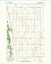
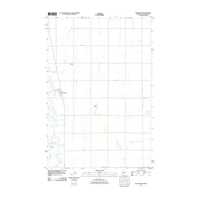
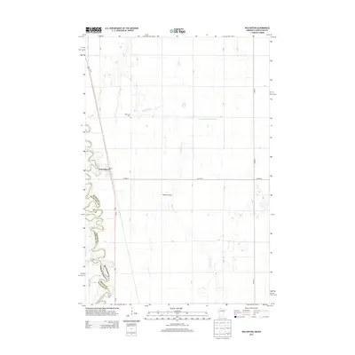
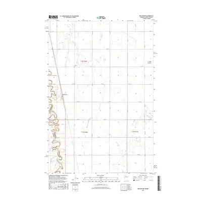
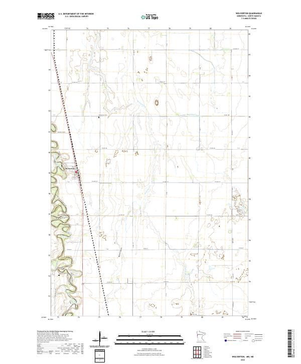
The Red River of the North carves a winding path along the state border in this modern survey, defining the western edge of Wolverton. This agricultural landscape is crisscrossed by an extensive network of managed waterways, including County Ditch Number Five A, Nyquist Coulee, and the meandering Wolverton Cr. For those tracing local family history, the map precisely locates the Wolverton Cem and Schmitt Cem, which serve as quiet landmarks among the section lines of the Public Land Survey System. The township structure is clearly marked by the boundaries of t136n r48w and t135n r48w, reflecting the long-established surveyor's grid that dictates the placement of rural roads like Hanson Fm Rd and 175 1/2 Ave SE.
Find a feature on this map
26 named features on this map. Tap any name to fly to it.
Don’t see what you’re looking for? This feature index may not catch every label — zoom into the map to look around manually.
Map Details
Editions of this 2022 Wolverton Map
This is the sole edition of this map. No revisions or reprints were ever made.
Historical Maps of Wolverton Through Time
6 maps found