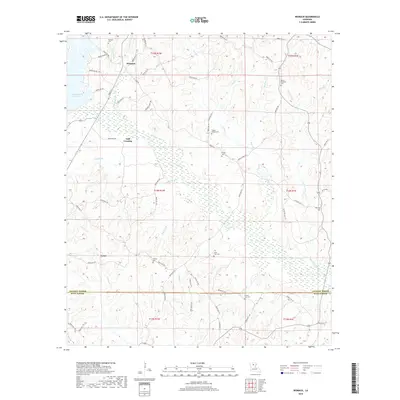
2018 Map of Womack
USGS Topo · Published 2018About this map
Womack and the neighboring settlements of Gulf Crossing and Lyons anchor this portion of North Louisiana, where the landscape is defined by an intricate network of creeks and small drainage basins. The boundary between Jackson Parish and Winn Parish cuts across the southern third of the area, a transition marked by County Line Cem and County Line Br. The topography is heavily influenced by the Caney Creek Reservoir in the northwest, which feeds into Caney Creek and its many tributaries like Cowsumber Creek and Red Lick Branch. Numerous family and community landmarks are found throughout the piney woods, including Dothan Cem, Tippen Chapel Cem, and Fowler Cem, providing essential points of reference for local genealogical research and land-use history in this rural corner of the state.
Find a feature on this map
81 named features on this map. Tap any name to fly to it.
Don’t see what you’re looking for? This feature index may not catch every label — zoom into the map to look around manually.
Map Details
Editions of this 2018 Womack Map
This is the sole edition of this map. No revisions or reprints were ever made.
Other maps of this area

1949 · Jonesboro
USGS Topo · 1:62,500

1950 · Jonesboro
USGS Topo · 1:62,500

1953 · Chatham
USGS Topo · 1:62,500

1953 · Hodge
USGS Topo · 1:62,500

1954 · Sikes
USGS Topo · 1:62,500

1955 · Shreveport
USGS Topo · 1:250,000

1956 · Shreveport
USGS Topo · 1:250,000

1982 · Chatham
USGS Topo · 1:24,000

1982 · Chatham SE
USGS Topo · 1:24,000

1984 · Shreveport
USGS Topo · 1:250,000