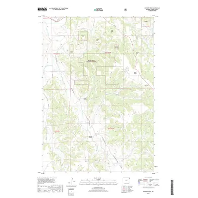
2017 Map of Wonder View
USGS Topo · Published 2017About this map
The Black Hills National Forest dominates this Wyoming landscape, where the Belle Fourche River flows through the western edge of the quadrangle. The topography is defined by significant elevation changes, from the prominent Castle Rocks and Oudin Hill to deep geographic features like Hulett Canyon and Sawmill Canyon. Settlement is sparse, centered around the locales of Sunny Divide and the map's namesake, Wonder View.
Find a feature on this map
35 named features on this map. Tap any name to fly to it.
Don’t see what you’re looking for? This feature index may not catch every label — zoom into the map to look around manually.
Map Details
Editions of this 2017 Wonder View Map
This is the sole edition of this map. No revisions or reprints were ever made.
Other maps of this area

1905 · Devils Tower
USGS Topo · 1:125,000

1918 · Moorcroft
USGS Topo · 1:125,000

1918 · Moorcroft
USGS Topo · 1:62,500

1954 · Sunny Divide
USGS Topo · 1:24,000

1954 · Carlile
USGS Topo · 1:24,000

1954 · Missouri Buttes
USGS Topo · 1:24,000

1954 · Gillette
USGS Topo · 1:250,000

1955 · Devils Tower
USGS Topo · 1:62,500

1955 · Gillette
USGS Topo · 1:250,000

1957 · Nefsy Divide
USGS Topo · 1:62,500