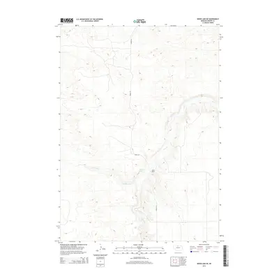
2014 Map of Wood Lake NE
USGS Topo · Published 2014About this map
Plum Creek carves a significant drainage path through the Nebraska sandhills of Brown County, forming the primary hydrological feature of this rural landscape. The topography is defined by the winding course of Little Minnie Creek, which feeds into the larger system near the prominent geographic feature known as Sand Draw. This 2014 survey by the U.S. Geological Survey details a sparsely populated ranching region where infrastructure is limited to essential connectors like Norden Rd. The map illustrates the characteristic dune-and-swale formations of the region, providing a clear record of the area's natural drainage and the limited road network that serves the local agricultural community.
Find a feature on this map
4 named features on this map. Tap any name to fly to it.
Don’t see what you’re looking for? This feature index may not catch every label — zoom into the map to look around manually.
Map Details
Editions of this 2014 Wood Lake NE Map
This is the sole edition of this map. No revisions or reprints were ever made.
Other maps of this area

1950 · Norden
USGS Topo · 1:62,500

1950 · Huddle Table
USGS Topo · 1:24,000

1950 · Wood Lake
USGS Topo · 1:62,500

1952 · Norden
USGS Topo · 1:62,500

1954 · Ainsworth NW
USGS Topo · 1:24,000

1954 · Ainsworth SW
USGS Topo · 1:24,000

1955 · O'Neill
USGS Topo · 1:250,000

1957 · Valentine
USGS Topo · 1:250,000

1959 · Valentine
USGS Topo · 1:250,000

1959 · O'Neill
USGS Topo · 1:250,000