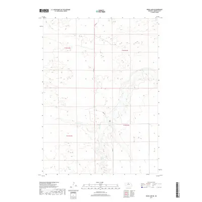
2017 Map of Wood Lake NE
USGS Topo · Published 2017About this map
Plum Cr carves a deep drainage path through the Nebraska Sandhills, defining the central hydrology of this Brown County landscape. This 2017 survey illustrates the sparse, ranch-oriented settlement patterns characteristic of the region, where infrastructure is limited to arterial routes like Norden Rd. The terrain is marked by the distinct sandy depressions and drainages of the Sand Draw, alongside the west-to-east flow of Little Minnie Cr. The map preserves the specific legal boundaries of the Public Land Survey System, including sections within t32n r24w and t31n r23w, which provide a fundamental grid for modern land records and genealogical research in this rural portion of the state.
Find a feature on this map
8 named features on this map. Tap any name to fly to it.
Don’t see what you’re looking for? This feature index may not catch every label — zoom into the map to look around manually.
Map Details
Editions of this 2017 Wood Lake NE Map
This is the sole edition of this map. No revisions or reprints were ever made.
Other maps of this area

1950 · Norden
USGS Topo · 1:62,500

1950 · Huddle Table
USGS Topo · 1:24,000

1950 · Wood Lake
USGS Topo · 1:62,500

1952 · Norden
USGS Topo · 1:62,500

1954 · Ainsworth NW
USGS Topo · 1:24,000

1954 · Ainsworth SW
USGS Topo · 1:24,000

1955 · O'Neill
USGS Topo · 1:250,000

1957 · Valentine
USGS Topo · 1:250,000

1959 · Valentine
USGS Topo · 1:250,000

1959 · O'Neill
USGS Topo · 1:250,000