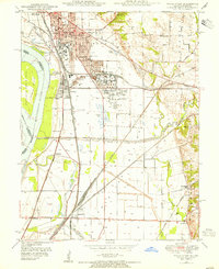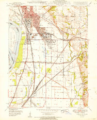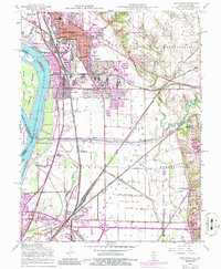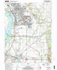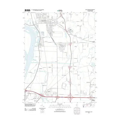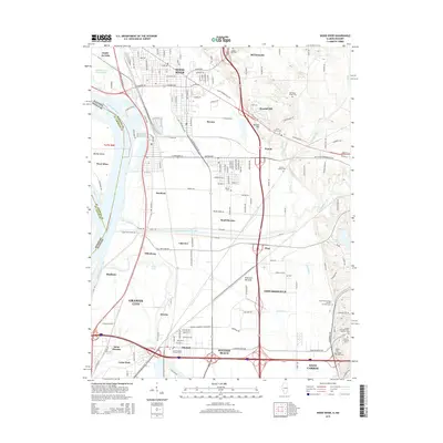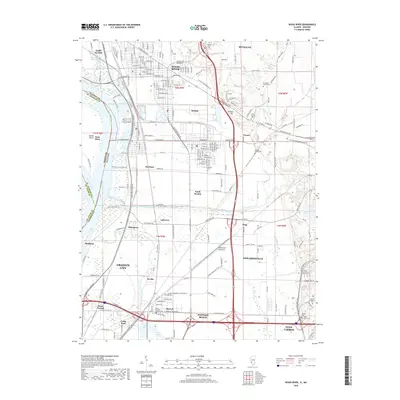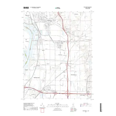
2024 Map of Wood River
USGS Topo · Published 2024About this map
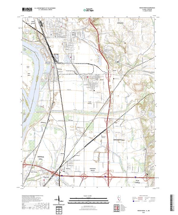
The Mississippi River and Missouri River converge just west of this landscape, where the wide floodplains of the American Bottoms meet industrial corridors and growing residential hubs. Central to the map is the Cahokia Diversion Channel, a massive feat of hydrological engineering that cuts across the terrain to manage the waters of Cahokia Creek. This infrastructure supports a dense network of industrial zones and commercial corridors, including the Gateway Commerce Ctr Dr E developments near Edwardsville.
Find a feature on this map
54 named features on this map. Tap any name to fly to it.
Don’t see what you’re looking for? This feature index may not catch every label — zoom into the map to look around manually.
Map Details
Editions of this 2024 Wood River Map
This is the sole edition of this map. No revisions or reprints were ever made.
Historical Maps of Granite City Through Time
9 maps found