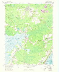
1958 Map of Woodbine
USGS Topo · Published 1973About this map
The borough of Woodbine and the sprawling Great Cedar Swamp anchor this mid-century survey of the Cape May interior. Settlement patterns are defined by the Pennsylvania-Reading Seashore Lines and a network of historic roads, including the Garden State Parkway and Delsea Drive. The map documents a diverse community structure, from the State Colony and Woodbine Municipal Airport to spiritual and educational landmarks like St Elizabeths Ch, Asbury Ch, and the Tifereth Israel Cem.
Find a feature on this map
56 named features on this map. Tap any name to fly to it.
Don’t see what you’re looking for? This feature index may not catch every label — zoom into the map to look around manually.
Map Details
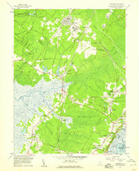
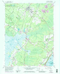
Editions of this 1958 Woodbine Map
3 editions found
Other maps of this area

1884 · Sea Isle
USGS Topo · 1:62,500

1888 · Dennisville
USGS Topo · 1:62,500

1888 · Sea Isle
USGS Topo · 1:62,500

1890 · Great Egg Harbor
USGS Topo · 1:62,500

1890 · Tuckahoe
USGS Topo · 1:62,500

1893 · Great Egg Harbor
USGS Topo · 1:62,500

1893 · Tuckahoe
USGS Topo · 1:62,500

1894 · Dennisville
USGS Topo · 1:62,500

1894 · Sea Isle
USGS Topo · 1:62,500

1918 · Great Egg Harbor
USGS Topo · 1:62,500