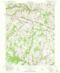
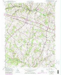
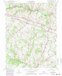
1945 Map of Woodbine
USGS Topo · Published 1971About this map
The South Branch Patapsco River serves as the dividing line between Carroll and Howard counties, anchoring a rural landscape during the mid-1940s. Along its banks, the Baltimore and Ohio railroad threads through river towns like Watersville, Woodbine, and Morgan. This era captures a transition in transportation, where traditional agricultural hubs and crossroads settlements like Lisbon and Cooksville remained central to local life, even as modern infrastructure like a local Landing Strip began to appear near the Patuxent River.
Find a feature on this map
29 named features on this map. Tap any name to fly to it.
Don’t see what you’re looking for? This feature index may not catch every label — zoom into the map to look around manually.
Map Details
Editions of this 1945 Woodbine Map
6 editions found
Other maps of this area

1892 · Laurel
USGS Topo · 1:62,500

1892 · Ellicott
USGS Topo · 1:62,500

1893 · Frederick
USGS Topo · 1:125,000

1894 · Ellicott
USGS Topo · 1:62,500

1894 · Laurel
USGS Topo · 1:62,500

1894 · Frederick
USGS Topo · 1:125,000

1897 · Laurel
USGS Topo · 1:62,500

1906 · Ellicott
USGS Topo · 1:62,500

1907 · Laurel
USGS Topo · 1:62,500

1908 · Patapsco
USGS Topo · 1:125,000