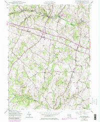
1945 Map of Woodbine
USGS Topo · Published 1984About this map
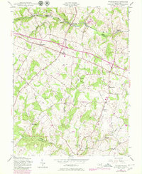
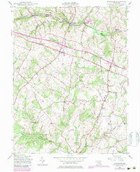
The South Branch Patapsco River and the Baltimore and Ohio railroad corridor form the industrial backbone of this Howard County landscape as it transitioned through the mid-20th century. Mill sites such as Roxbury Mills, Hipsleys Mill, and Carrs Mill are scattered along the drainage networks of Cattail Creek and the Patuxent River, reflecting the area's agricultural and milling roots. To the north, the small railroad settlements of Woodbine and Morgan sit at the intersection of Carroll and Howard counties, while inland crossroads like Lisbon and Cooksville show the development of the regional road network. Local landmarks of genealogical interest include Mt Gregory Sch and the Gary Cem near Knollwood. Large tracts of preserved land are visible in the southwest corner within Patuxent River State Park, showing the early footprint of regional conservation efforts.
Find a feature on this map
35 named features on this map. Tap any name to fly to it.
Don’t see what you’re looking for? This feature index may not catch every label — zoom into the map to look around manually.
Map Details
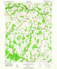
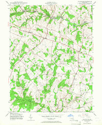
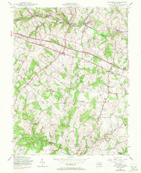
Editions of this 1945 Woodbine Map
6 editions found
Other maps of this area

1892 · Laurel
USGS Topo · 1:62,500

1892 · Ellicott
USGS Topo · 1:62,500

1893 · Frederick
USGS Topo · 1:125,000

1894 · Ellicott
USGS Topo · 1:62,500

1894 · Laurel
USGS Topo · 1:62,500

1894 · Frederick
USGS Topo · 1:125,000

1897 · Laurel
USGS Topo · 1:62,500

1906 · Ellicott
USGS Topo · 1:62,500

1907 · Laurel
USGS Topo · 1:62,500

1908 · Patapsco
USGS Topo · 1:125,000