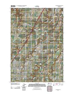
2011 Map of Woodburn
USGS Topo · Published 2011About this map
Woodburn serves as a major hub in this part of Marion County, where the landscape is defined by the winding course of the Pudding River and the broad flats of Elliott Prairie. In 2011, the area shows a dense concentration of historical and community markers, particularly through its numerous cemeteries such as Saint Lukes, Belle Passi Cemetery, and the Mennonite Cemetery. The mapping records the essential transit corridors that shaped these settlements, including Boones Ferry Road and the path of the river, which is crossed by notable structures like the Killin Bridge and Morris Bridge. Smaller agricultural and residential pockets like Hubbard, Donald, and Fargo are documented alongside specialized infrastructure such as McGee Airport and the Donald Post Office. The presence of several private water bodies, including Bronec Reservoir and O'Neal Reservoir, reflects the managed irrigation and land use essential to this fertile valley region.
Find a feature on this map
105 named features on this map. Tap any name to fly to it.
Don’t see what you’re looking for? This feature index may not catch every label — zoom into the map to look around manually.
Map Details
Editions of this 2011 Woodburn Map
This is the sole edition of this map. No revisions or reprints were ever made.
Other maps of this area

1914 · Oregon City
USGS Topo · 1:62,500

1916 · Tualatin
USGS Topo · 1:62,500

1923 · Mount Angel
USGS Topo · 1:62,500

1939 · Molalla
USGS Topo · 1:62,500

1939 · Oregon City
USGS Topo · 1:62,500

1939 · Tualatin
USGS Topo · 1:62,500

1940 · Tualatin
USGS Topo · 1:62,500

1940 · Molalla
USGS Topo · 1:62,500

1940 · Mount Angel
USGS Topo · 1:62,500

1941 · Oregon City
USGS Topo · 1:62,500