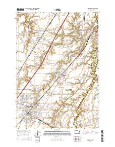
2014 Map of Woodburn
USGS Topo · Published 2014About this map
Woodburn and the agricultural lands of French Prairie define this portion of the Willamette Valley, where a series of historic settlements follow the Burlington Northern Santa Fe rail corridor. From Butteville in the northwest down through Donald, Hubbard, and Woodburn, the map reveals a landscape structured by early transit and natural springs, including Giesy Mineral Spring and Hubbard Mineral Spring. The area's communal and religious history is visible in its numerous burial grounds, such as the Old Colony Cem and the Mennonite Cem on the eastern edge.
Find a feature on this map
174 named features on this map. Tap any name to fly to it.
Don’t see what you’re looking for? This feature index may not catch every label — zoom into the map to look around manually.
Map Details
Editions of this 2014 Woodburn Map
This is the sole edition of this map. No revisions or reprints were ever made.
Other maps of this area

1914 · Oregon City
USGS Topo · 1:62,500

1916 · Tualatin
USGS Topo · 1:62,500

1923 · Mount Angel
USGS Topo · 1:62,500

1939 · Molalla
USGS Topo · 1:62,500

1939 · Oregon City
USGS Topo · 1:62,500

1939 · Tualatin
USGS Topo · 1:62,500

1940 · Tualatin
USGS Topo · 1:62,500

1940 · Molalla
USGS Topo · 1:62,500

1940 · Mount Angel
USGS Topo · 1:62,500

1941 · Oregon City
USGS Topo · 1:62,500