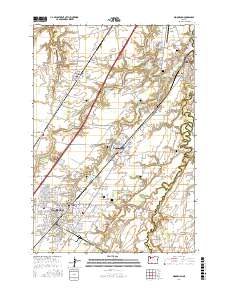
2017 Map of Woodburn
USGS Topo · Published 2017About this map
The agricultural heart of the northern Willamette Valley unfolds across French Prairie and Elliott Prairie, where the Pudding River and Butte Creek meander through a landscape defined by its historic settlements and transport hubs. Woodburn and Hubbard serve as the primary centers, connected by a dense network of early road systems like Boones Ferry Rd NE and Butteville Rd NE. The map records an exceptional number of burial grounds, including the Old Colony Cem and Hopewell Cem, which provide significant points of interest for genealogists tracing the area's early families.
Find a feature on this map
173 named features on this map. Tap any name to fly to it.
Don’t see what you’re looking for? This feature index may not catch every label — zoom into the map to look around manually.
Map Details
Editions of this 2017 Woodburn Map
This is the sole edition of this map. No revisions or reprints were ever made.
Other maps of this area

1914 · Oregon City
USGS Topo · 1:62,500

1916 · Tualatin
USGS Topo · 1:62,500

1923 · Mount Angel
USGS Topo · 1:62,500

1939 · Molalla
USGS Topo · 1:62,500

1939 · Oregon City
USGS Topo · 1:62,500

1939 · Tualatin
USGS Topo · 1:62,500

1940 · Tualatin
USGS Topo · 1:62,500

1940 · Molalla
USGS Topo · 1:62,500

1940 · Mount Angel
USGS Topo · 1:62,500

1941 · Oregon City
USGS Topo · 1:62,500