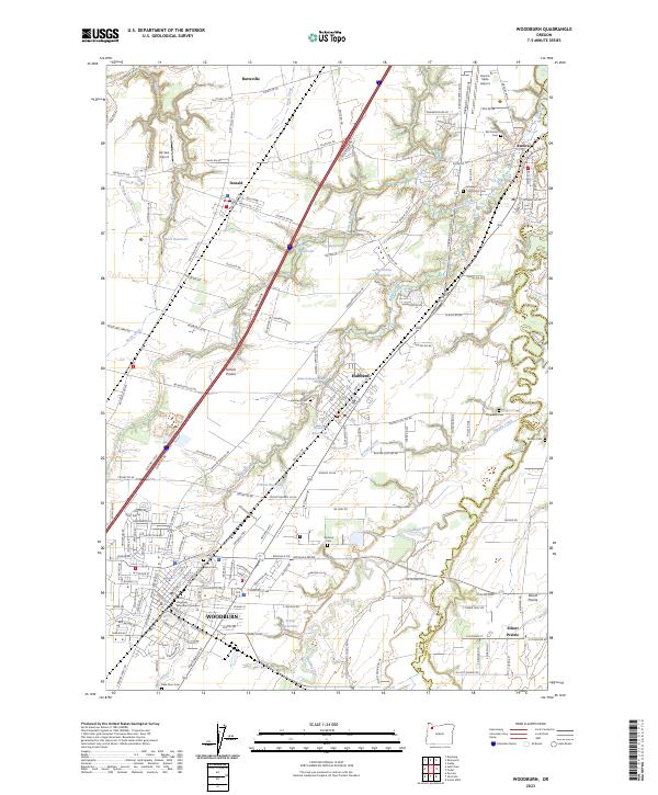
2023 Map of Woodburn
USGS Topo · Published 2023About this map
French Prairie defines the central agricultural landscape of this region, where the winding Pudding River and Butte Creek mark the boundaries between Marion and Clackamas counties. The town of Woodburn serves as the primary hub, showing the modern footprint of the Pacific University Woodburn Campus and a dense network of local roads. Smaller established settlements like Hubbard, Donald, Aurora, and Butteville are connected by a grid of farm-to-market routes and historic crossings. Genealogists will find a wealth of burial sites including Hubbard Cem, Hopewell Cem, and the Keil Family Cem. The presence of several mineral springs, such as Glesy Mineral Spring and Hubbard Mineral Spring, suggests the area's geological character, while numerous reservoirs like O'Neal Reservoir and Serres Reservoir highlight the sophisticated water management supporting the surrounding orchards and fields.
Find a feature on this map
175 named features on this map. Tap any name to fly to it.
Don’t see what you’re looking for? This feature index may not catch every label — zoom into the map to look around manually.
Map Details
Editions of this 2023 Woodburn Map
This is the sole edition of this map. No revisions or reprints were ever made.
Other maps of this area

1914 · Oregon City
USGS Topo · 1:62,500

1916 · Tualatin
USGS Topo · 1:62,500

1923 · Mount Angel
USGS Topo · 1:62,500

1939 · Molalla
USGS Topo · 1:62,500

1939 · Oregon City
USGS Topo · 1:62,500

1939 · Tualatin
USGS Topo · 1:62,500

1940 · Tualatin
USGS Topo · 1:62,500

1940 · Molalla
USGS Topo · 1:62,500

1940 · Mount Angel
USGS Topo · 1:62,500

1941 · Oregon City
USGS Topo · 1:62,500