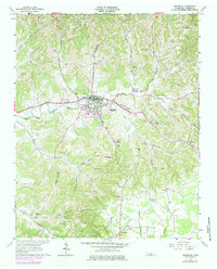
1962 Map of Woodbury
USGS Topo · Published 1979About this map
Woodbury serves as the focal point of this topographic study, situated where the East Fork Stones River meets the drainages of Rush Creek and Doolittle Branch. The settlement pattern reflects the complex topography of Cannon County, with homes and infrastructure following narrow hollows like Preston Hollow and Woods Hollow. A 1970s revision, indicated in purple, highlights the expansion of the town's footprint, including the Filtration Plant and the development of the City Park near the riverbanks.
Find a feature on this map
54 named features on this map. Tap any name to fly to it.
Don’t see what you’re looking for? This feature index may not catch every label — zoom into the map to look around manually.
Map Details
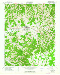
Editions of this 1962 Woodbury Map
2 editions found
Other maps of this area

1893 · Mc Minnville
USGS Topo · 1:125,000

1895 · Mc Minnville
USGS Topo · 1:125,000

1908 · Woodbury
USGS Topo · 1:62,500

1913 · Hollow Springs
USGS Topo · 1:62,500

1936 · Beech Grove
USGS Topo · 1:24,000

1936 · Petty Gap
USGS Topo · 1:24,000

1942 · Statesville
USGS Topo · 1:100,000

1943 · Mc Minnville
USGS Topo · 1:100,000

1952 · Centertown
USGS Topo · 1:24,000

1953 · Chattanooga
USGS Topo · 1:250,000