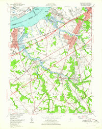
1949 Map of Woodbury
USGS Topo · Published 1962About this map
The industrial and military heritage of the Delaware River corridor defines this landscape, where the Hog Island Shipyard sits across from the historic fortifications of Fort Mifflin and Fort Mercer. Inland from the riverfront, the city of Woodbury serves as a central hub, surrounded by a network of established communities like Thorofare, Mantua, and Sewell. The presence of the Gloucester Co Institution near Clarksboro and multiple local airfields, including Memorial Airport and Pitman Airport, illustrates a post-war landscape in transition between traditional agriculture and growing suburban infrastructure.
Find a feature on this map
85 named features on this map. Tap any name to fly to it.
Don’t see what you’re looking for? This feature index may not catch every label — zoom into the map to look around manually.
Map Details
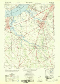
Editions of this 1949 Woodbury Map
2 editions found
Other maps of this area

1890 · Salem
USGS Topo · 1:62,500

1890 · Glassboro
USGS Topo · 1:62,500

1891 · Philadelphia
USGS Topo · 1:62,500

1894 · Chester
USGS Topo · 1:62,500

1894 · Philadelphia
USGS Topo · 1:62,500

1896 · Philadelphia
USGS Topo · 1:62,500

1896 · Chester
USGS Topo · 1:62,500

1898 · Salem
USGS Topo · 1:62,500

1898 · Glassboro
USGS Topo · 1:62,500

1898 · Chester
USGS Topo · 1:62,500
Featured Places
- Philadelphia, PA
- Washington Township, NJ
- Deptford Township, NJ
- West Deptford Township, NJ
- Mantua Township, NJ