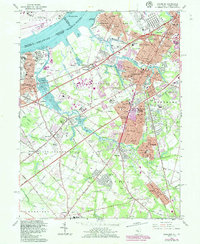
1967 Map of Woodbury
USGS Topo · Published 1986About this map
Red Bank Battlefield sits along the Delaware River, marking a landscape where colonial history meets mid-century suburban expansion in Gloucester County. This map documents a dense network of established boroughs including Woodbury, Paulsboro, and Wenonah, all interconnected by the Conrail rail lines and the winding course of Mantua Creek. The transition from industrial riverfronts at Billingsport to the emerging residential clusters of Oak Valley and Colonial Manor is clearly visible through the extensive street grids and numerous local institutions like Underwood Hospital and St Pauls Ch.
Find a feature on this map
175 named features on this map. Tap any name to fly to it.
Don’t see what you’re looking for? This feature index may not catch every label — zoom into the map to look around manually.
Map Details
Editions of this 1967 Woodbury Map
4 editions found
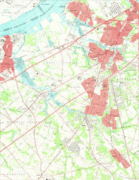
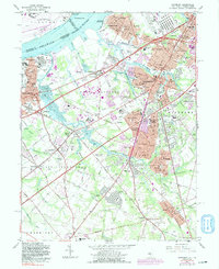
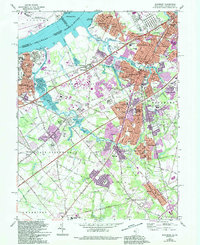
Other maps of this area

1890 · Salem
USGS Topo · 1:62,500

1890 · Glassboro
USGS Topo · 1:62,500

1891 · Philadelphia
USGS Topo · 1:62,500

1894 · Chester
USGS Topo · 1:62,500

1894 · Philadelphia
USGS Topo · 1:62,500

1896 · Philadelphia
USGS Topo · 1:62,500

1896 · Chester
USGS Topo · 1:62,500

1898 · Salem
USGS Topo · 1:62,500

1898 · Glassboro
USGS Topo · 1:62,500

1898 · Chester
USGS Topo · 1:62,500
Featured Places
- Philadelphia, PA
- Washington Township, NJ
- Deptford Township, NJ
- West Deptford Township, NJ
- Mantua Township, NJ