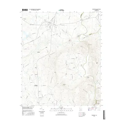
2017 Map of Woodbury
USGS Topo · Published 2017About this map
Woodbury serves as the central hub of this Meriwether County landscape, situated where White House Pkwy and Main St intersect. The terrain is defined by the prominent ridge of Pine Mtn, which transitions into notable elevations such as Dixon Mtn and Huckleberry Pinnacle. The southern reaches of the map are particularly complex, featuring a series of hollows including Keenan Hollow, Fuller Hollow, and Cedar Tree Hollow that drain toward the Flint River.
Find a feature on this map
124 named features on this map. Tap any name to fly to it.
Don’t see what you’re looking for? This feature index may not catch every label — zoom into the map to look around manually.
Map Details
Editions of this 2017 Woodbury Map
This is the sole edition of this map. No revisions or reprints were ever made.
Other maps of this area

1907 · Talbotton
USGS Topo · 1:125,000

1934 · Warm Springs
USGS Topo · 1:62,500

1935 · Thomaston
USGS Topo · 1:48,000

1936 · Warm Springs
USGS Topo · 1:62,500

1939 · Thomaston
USGS Topo · 1:62,500

1953 · Atlanta
USGS Topo · 1:250,000

1955 · Phenix City
USGS Topo · 1:250,000

1957 · Phenix City
USGS Topo · 1:250,000

1957 · Atlanta
USGS Topo · 1:250,000

1958 · Phenix City
USGS Topo · 1:250,000