Loading...
Loading map...2024 Map of Woodbury
USGS Topo · Published 2024About this map
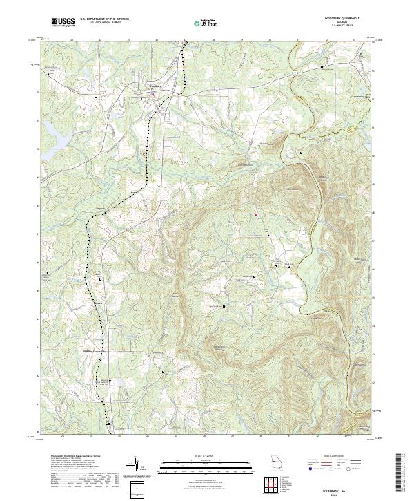
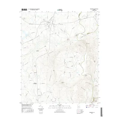
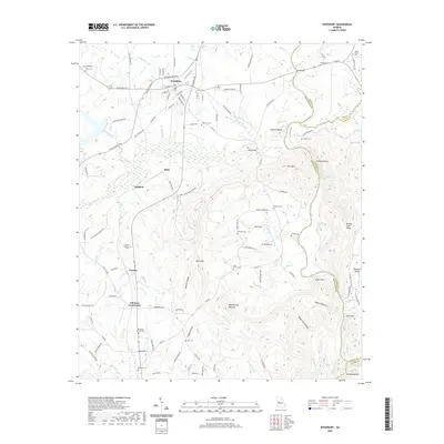
Woodbury serves as the central hub of this Meriwether County landscape, where the terrain transitions into the distinct ridges of Pine Mountain and Dixon Mountain. The map reveals a deeply rooted rural community defined by family-named landmarks and numerous small burial grounds, including the See Family Cem and Thompson Cem. To the east, the Flint River carves a natural boundary, fed by several local waterways like Buck Creek and Elkins Creek.
Find a feature on this map
136 named features on this map. Tap any name to fly to it.
Don’t see what you’re looking for? This feature index may not catch every label — zoom into the map to look around manually.
Map Details
Date Portrayed2024
Date Published2024
PublisherU.S. Geological Survey
Map TypeTopographic
Scale1:24,000
Physical Dimensions24 x 29 inches
Editions of this 2024 Woodbury Map
This is the sole edition of this map. No revisions or reprints were ever made.
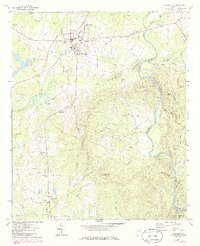
Historical Maps of Woodbury Through Time
6 maps found
Featured Locations
Source Details
SourceU.S. Geological Survey
CopyrightPublic Domain