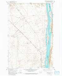
1978 Map of Wooden Island
USGS Topo · Published 1991About this map
Hanford Works occupies the vast majority of this landscape, a Cold War-era nuclear production site defined by its isolation and industrial infrastructure. The U.S. Government Railroad bisects the terrain, connecting specialized locations like the 300 Area and Geneva Junction to the broader regional network. The technical nature of the site is evidenced by numerous Test Well sites and Radioactive Waste Dump labels, illustrating the environmental monitoring and waste management practices of the late 1970s.
Find a feature on this map
26 named features on this map. Tap any name to fly to it.
Don’t see what you’re looking for? This feature index may not catch every label — zoom into the map to look around manually.
Map Details
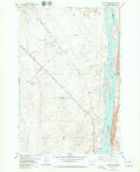
Editions of this 1978 Wooden Island Map
2 editions found
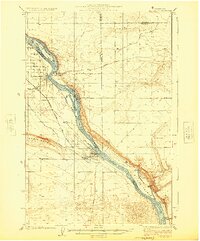
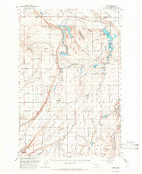
Other maps of this area

1917 · Pasco
USGS Topo · 1:125,000
1924 · Hanford
USGS Topo · 1:62,500

1925 · Scooteney Lake
USGS Topo · 1:62,500

1951 · Scooteney Lake
USGS Topo · 1:62,500

1951 · Richland
USGS Topo · 1:62,500

1951 · Hanford
USGS Topo · 1:62,500

1953 · Walla Walla
USGS Topo · 1:250,000

1958 · Walla Walla
USGS Topo · 1:250,000
1965 · Mesa
USGS Topo · 1:62,500

1965 · Eltopia
USGS Topo · 1:62,500