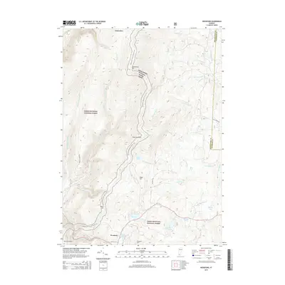
2015 Map of Woodford
USGS Topo · Published 2015About this map
The town of Woodford sits at the heart of this Vermont survey, surrounded by the extensive woodlands of the Green Mountain National Forest. This high-elevation landscape is defined by the steep slopes of Glastenbury Mtn and Prospect Mtn, providing a look at a region where human settlement is closely tied to the natural water systems. The Appalachian National Scenic Trail winds through the center of the sheet, traversing ridges past Little Pond and over Green Mountain. For those researching local history, the map identifies the Woodford Cem near the southern boundary, alongside several named water bodies such as Adams Reservoir and Big Pond. The drainage patterns of City Stream and Bolles Brook illustrate the geography that historically shaped the development and recreation of Bennington County's upland areas.
Find a feature on this map
40 named features on this map. Tap any name to fly to it.
Don’t see what you’re looking for? This feature index may not catch every label — zoom into the map to look around manually.
Map Details
Editions of this 2015 Woodford Map
This is the sole edition of this map. No revisions or reprints were ever made.
Other maps of this area

1889 · Wilmington
USGS Topo · 1:62,500

1891 · Wilmington
USGS Topo · 1:62,500

1894 · Londonderry
USGS Topo · 1:62,500

1894 · Equinox
USGS Topo · 1:62,500

1896 · Equinox
USGS Topo · 1:62,500

1898 · Bennington
USGS Topo · 1:62,500

1899 · Londonderry
USGS Topo · 1:62,500

1899 · Wilmington
USGS Topo · 1:62,500

1900 · Taconic
USGS Topo · 1:125,000

1900 · Equinox
USGS Topo · 1:62,500