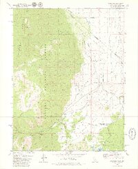
1979 Map of Woodfords
USGS Topo · Published 1979About this map
Toiyabe National Forest dominates the western landscape of this 1970s survey, where the high peaks of the Carson Range descend into the fertile valleys of Alpine County. The West Fork Carson River carves a path through the terrain, supporting a network of historic irrigation ditches and small ranching settlements like Fredericksburg and Woodfords. This era shows the region's transition into a recreational and historical corridor, evidenced by the Indian Creek Recreation Lands and the Snowshoe Thompson Historical Mon, commemorating the legendary mail carrier of the Sierra Nevada.
Find a feature on this map
60 named features on this map. Tap any name to fly to it.
Don’t see what you’re looking for? This feature index may not catch every label — zoom into the map to look around manually.
Map Details
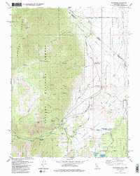
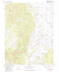
Editions of this 1979 Woodfords Map
3 editions found
Other maps of this area

1889 · Markleeville
USGS Topo · 1:125,000

1891 · Markleeville
USGS Topo · 1:125,000

1893 · Markleeville
USGS Topo · 1:125,000

1948 · Walker Lake
USGS Topo · 1:250,000
1955 · Freel Peak
USGS Topo · 1:24,000

1955 · Bijou
USGS Topo · 1:24,000

1956 · Freel Peak
USGS Topo · 1:62,500

1956 · Topaz Lake
USGS Topo · 1:62,500

1956 · Markleeville
USGS Topo · 1:62,500

1957 · Walker Lake
USGS Topo · 1:250,000