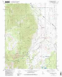
1979 Map of Woodfords
USGS Topo · Published 1984About this map
The Toiyabe National Forest and the Carson Range dominate the western horizon of this survey, where the West Fork Carson River descends from the mountains into the pastoral Diamond Valley. The settlement of Woodfords serves as a central hub near the river, situated at the junction of several canyon routes including Acorn Canyon and Dutch Valley. Local heritage is anchored by the Woodfords Cem and Washoe Cem, alongside the Snowshoe Thompson Historical Mon, which commemorates the regions legendary mail carrier. Further east, the Washoe Indian Res Community and the Diamond Valley Sch reflect the diverse communal history of the Diamond Valley and Carson Valley borderlands. The map reveals a landscape defined by water management and historic transit, tracing the Emigrant Trail and the Snowshoe Thompson Trail as they navigate the transition from alpine peaks to valley floor.
Find a feature on this map
54 named features on this map. Tap any name to fly to it.
Don’t see what you’re looking for? This feature index may not catch every label — zoom into the map to look around manually.
Map Details
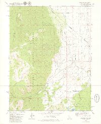
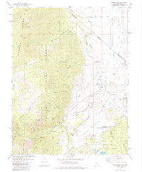
Editions of this 1979 Woodfords Map
3 editions found
Other maps of this area

1889 · Markleeville
USGS Topo · 1:125,000

1891 · Markleeville
USGS Topo · 1:125,000

1893 · Markleeville
USGS Topo · 1:125,000

1948 · Walker Lake
USGS Topo · 1:250,000
1955 · Freel Peak
USGS Topo · 1:24,000

1955 · Bijou
USGS Topo · 1:24,000

1956 · Freel Peak
USGS Topo · 1:62,500

1956 · Topaz Lake
USGS Topo · 1:62,500

1956 · Markleeville
USGS Topo · 1:62,500

1957 · Walker Lake
USGS Topo · 1:250,000