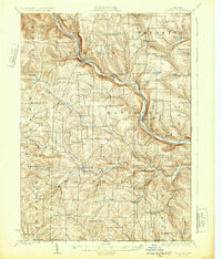
1926 Map of Woodhull
USGS Topo · Published 1932About this map
The Canisteo River carves a deep valley through the northern half of this landscape, serving as the primary corridor for the Erie RR and a string of settlements including Cameron and Cameron Mills. This 1920s topography reveals a dense network of upland one-room schoolhouses such as the Eight Square School, Gothic School, and Five Corners School, reflecting the era's decentralized rural education before mid-century consolidation. To the south, the terrain levels into the drainage basins of Tuscarora Creek and its branches, where Woodhull and Jasper anchor the farming community near the New York Pennsylvania Boundary Line. The map documents a rugged interior geography where localized names like Kinners Knob and Cobble Knoll define the heights between winding creek valleys like Mud Creek and Helmer Creek.
Find a feature on this map
100 named features on this map. Tap any name to fly to it.
Don’t see what you’re looking for? This feature index may not catch every label — zoom into the map to look around manually.
Map Details
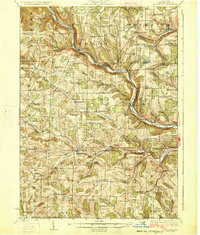
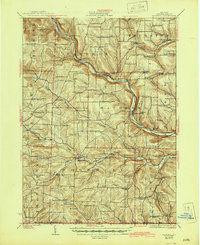
Editions of this 1926 Woodhull Map
4 editions found

Other maps of this area

1899 · Gaines
USGS Topo · 1:62,500

1900 · Gaines
USGS Topo · 1:62,500

1900 · Tioga
USGS Topo · 1:62,500

1900 · Elkland
USGS Topo · 1:62,500

1902 · Tioga
USGS Topo · 1:62,500

1903 · Hammondsport
USGS Topo · 1:62,500

1910 · Bath
USGS Topo · 1:62,500

1914 · Corning
USGS Topo · 1:62,500

1915 · Hornell
USGS Topo · 1:62,500

1918 · Hornell
USGS Topo · 1:62,500