
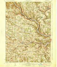
1926 Map of Woodhull
USGS Topo · Published 1926About this map
The Canisteo River carves a deep valley through the northern half of this landscape, serving as the primary corridor for the Erie RR and connecting settlements like Cameron and Cameron Mills. The terrain is defined by a dense network of upland ridges and narrow stream valleys, such as Tuscarora Creek and Goodhue Creek, where small agrarian communities and one-room schoolhouses flourished in the mid-1920s.
Find a feature on this map
102 named features on this map. Tap any name to fly to it.
Don’t see what you’re looking for? This feature index may not catch every label — zoom into the map to look around manually.
Map Details
Editions of this 1926 Woodhull Map
4 editions found
Other maps of this area

1899 · Gaines
USGS Topo · 1:62,500

1900 · Gaines
USGS Topo · 1:62,500

1900 · Tioga
USGS Topo · 1:62,500

1900 · Elkland
USGS Topo · 1:62,500

1902 · Tioga
USGS Topo · 1:62,500

1903 · Hammondsport
USGS Topo · 1:62,500

1910 · Bath
USGS Topo · 1:62,500

1914 · Corning
USGS Topo · 1:62,500

1915 · Hornell
USGS Topo · 1:62,500

1918 · Hornell
USGS Topo · 1:62,500