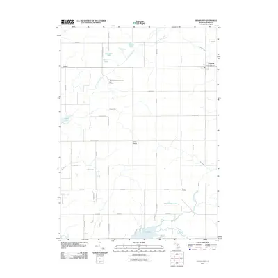
2011 Map of Woodland
USGS Topo · Published 2011About this map
The Little Thornapple River and Coldwater River system defines the hydrology of this Barry County landscape, where small agricultural settlements and family-named landmarks mark the terrain. The village of Woodland serves as the primary hub, containing the Woodland Post Office, while smaller points of interest like Coats Grove and Carlton sit further west. The rural layout is characterized by a high density of small lakes, including Lawhead Lake, Bullhead Lake, and the larger Thornapple Lake at the southern boundary.
Find a feature on this map
60 named features on this map. Tap any name to fly to it.
Don’t see what you’re looking for? This feature index may not catch every label — zoom into the map to look around manually.
Map Details
Editions of this 2011 Woodland Map
This is the sole edition of this map. No revisions or reprints were ever made.
Other maps of this area

1916 · Ionia
USGS Topo · 1:62,500

1918 · Ionia
USGS Topo · 1:62,500

1918 · Lowell
USGS Topo · 1:62,500

1943 · Ionia
USGS Topo · 1:62,500

1943 · Lowell
USGS Topo · 1:62,500

1950 · Nashville
USGS Topo · 1:62,500

1951 · Nashville
USGS Topo · 1:62,500

1951 · Hastings
USGS Topo · 1:62,500

1958 · Grand Rapids
USGS Topo · 1:250,000

1961 · Grand Rapids
USGS Topo · 1:250,000