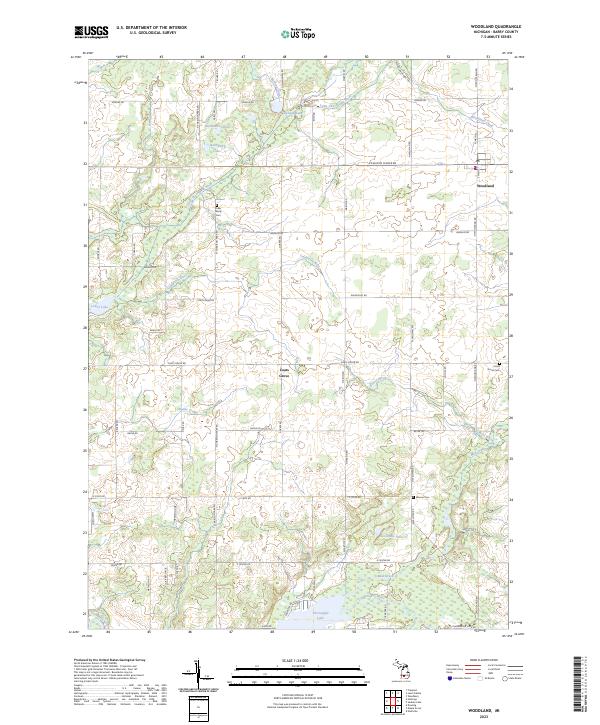
2023 Map of Woodland
USGS Topo · Published 2023About this map
Woodland sits at the northeastern corner of this landscape, serving as a primary settlement node alongside the smaller community of Coats Grove. The region is defined by a dense network of watercourses and glacial lakes, with the Little Thornapple River and Coldwater River threading through the agricultural terrain. Significant acreage is designated as the Farm Service Agency Interest of Michigan, indicating specific land use patterns and government involvement in the local rural economy.
Find a feature on this map
69 named features on this map. Tap any name to fly to it.
Don’t see what you’re looking for? This feature index may not catch every label — zoom into the map to look around manually.
Map Details
Editions of this 2023 Woodland Map
This is the sole edition of this map. No revisions or reprints were ever made.
Other maps of this area

1916 · Ionia
USGS Topo · 1:62,500

1918 · Ionia
USGS Topo · 1:62,500

1918 · Lowell
USGS Topo · 1:62,500

1943 · Ionia
USGS Topo · 1:62,500

1943 · Lowell
USGS Topo · 1:62,500

1950 · Nashville
USGS Topo · 1:62,500

1951 · Nashville
USGS Topo · 1:62,500

1951 · Hastings
USGS Topo · 1:62,500

1958 · Grand Rapids
USGS Topo · 1:250,000

1961 · Grand Rapids
USGS Topo · 1:250,000